Walk out of Pinebrook through its own trail access point and within a few hundred yards you hit a small wooden post with a number burned into it. Most people who live here have passed dozens of these without a second look. They're not decoration. In recent weeks, those numbers have doubled as a running log of exactly where fuel-reduction crews are working on the Arnold Rim Trail, and which stretch you'll want to walk instead this week.
The system runs the length of the trail, and right now it's telling a specific story. The fuel-reduction project centered on San Domingo Canyon, south of Avery-Sheep Ranch Road, has finished that segment. As of late September, crews have moved north to the stretch between posts 68 and 71, just north of the quarry. That's not a small shift. It means the project is advancing toward the sections of trail that Pinebrook's own access point feeds into, not away from them.
The Posts Aren't Decoration, They're a Schedule
The Arnold Rim Trail sits on Stanislaus National Forest land, and the current project is a fuel-reduction effort: thinning overcrowded young trees, masticating brush and fallen wood, and widening the existing fuel break from 300 feet to 500 feet on either side of the trail corridor. That's a meaningful expansion, more than 60 percent wider than what was there before, and it's being done section by section rather than all at once.
That section-by-section approach is why the numbered posts matter more than usual this fall. The Arnold Rim Trail Association has been using them as reference points for both work crews and hikers, posting updates that name the exact segment in progress rather than issuing a blanket closure notice for the whole system. When the work began, the active zone sat between posts 77 and 80. It's since cleared that stretch and moved on.
Where the Crews Are Right Now
The most recent trail reports, filed September 24, confirm the segment near San Domingo Canyon is done. Fuel reduction there is complete and the trail is open to the public. The active zone has shifted to posts 68 through 71, described in the reports as the stretch north of the quarry.
That progression matters for anyone using Pinebrook's own trailhead, because it tells you two things. First, the work is moving in a direction, not scattering randomly across the forest, so you can reasonably guess where it's headed next rather than being surprised by it. Second, it's moving north, which means it's advancing toward the sections of trail closer to the developed parts of Arnold rather than receding into the backcountry. Earlier reports from the neighborhood noted the work would continue moving north through the fall, and the September 24 status confirms that's exactly what's happening.
None of this means the trail is closed. ARTA has been clear that there are no blanket closures, just specific segments flagged off with do-not-enter markers as crews reach them. But the safety details are worth knowing before you head out:
- Masticators can throw shredded vegetation and rock as far as 150 feet
- Operators working in enclosed cabs often cannot see or hear hikers approaching
- Detours around active work zones are available via Forest Service roads
- Current segment status is posted at trailforks.com under the Arnold Rim Trail System region, and ARTA has been updating it through the fall as work progresses
If you're heading out from Pinebrook's trailhead this week, checking that page first tells you whether you're walking into an active zone or a cleared one, rather than guessing.
Why the Direction Matters More Than the Distance
It's tempting to hear "posts 68 to 71" and file it away as a detail that only matters to trail runners. But the direction the work is moving connects to something Pinebrook already has in place. The community carries a Firewise designation, the kind of certification that can lower homeowners insurance premiums with some carriers because it demonstrates organized fire-risk mitigation. The Arnold Rim Trail's fuel break expansion is the same idea applied at forest scale rather than the scale of individual lots. Watching where that larger project is headed gives Pinebrook residents a rough sense of how the broader fuel-reduction effort around town is progressing, section by section, post by post.
The trail's popularity is part of why this work gets attention locally. When the Arnold Rim Trail Association hosted its second Run the Rim trail event this past May, it sold out, with runners gathering at White Pines Park for a half marathon that drew some of the largest turnout of any distance offered. A trail that draws that kind of crowd for a race is also a trail that a lot of Pinebrook households are using on an ordinary Tuesday, which is exactly why knowing the current segment status is more useful than a generic "trails are open" assumption.
The Rest of the Season Doesn't Wait on Trail Work
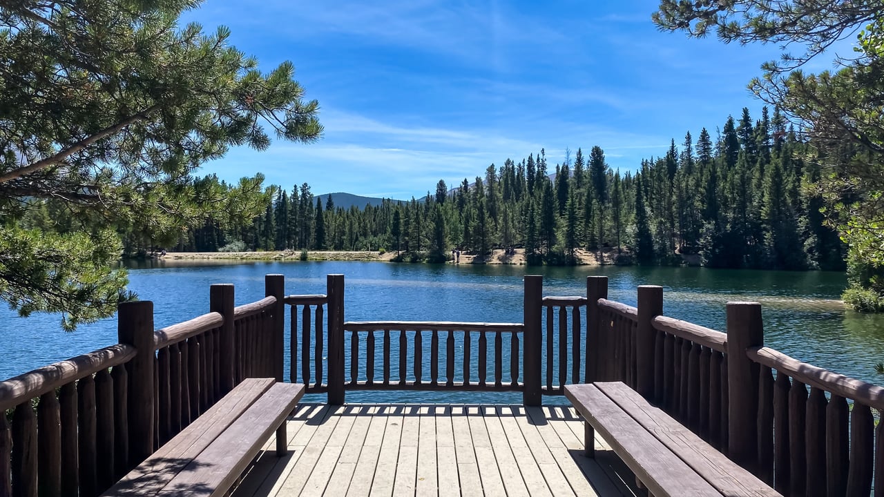
Fall in Pinebrook isn't only about the Rim Trail. Pinebrook Beach, the small private lake at the neighborhood's entrance along Flanders Drive, quiets down this time of year but doesn't close. The clubhouse, baseball field, sand volleyball court, and picnic area that make the entrance feel like a summer camp in July are still available into the fall, and the HOA's calendar of family movie nights and gatherings runs through the seasons, not just peak summer weekends.
For anyone who'd rather cast a line than log trail miles, Pinebrook Reservoir sits about a mile and a half from the center of Arnold and holds brook trout along with other species. It's a smaller, quieter alternative to the bigger lakes nearby.
Between the trail work moving north, the reservoir settling into its fall rhythm, and the beach easing out of peak season, Pinebrook in October looks less like a place winding down and more like a neighborhood switching from one set of outdoor routines to another. The numbered posts on the Rim Trail happen to be the clearest way to track that switch in real time.
If you want to know where the next segment of trail work lands before you head out, the Terri Watkins Team keeps an eye on Pinebrook updates like this one alongside everything else happening along the Highway 4 corridor.
This article is general information, not legal, tax or financial advice. Consult a qualified professional about your situation.